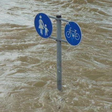
Warmer today, coastal flooding continues
Forecasters expect 6- to 12-foot waves, up to 2 feet of flooding and wind gusts to 50 mph as warnings remain in effect through the weekend.
- On Sunday, Rehoboth Beach officials urged residents to avoid beaches and secure property as a strengthening nor'easter drives hazardous conditions along the Delaware coast.
- Kathleen Bergin, a coastline erosion expert with the Department of Natural Resources and Environmental Control, noted Bethany Beach remains particularly vulnerable after losing one-third of its dunes last year.
- Forecasters warn of hazardous impacts through Sunday, including up to 50 mph wind gusts, six to 12-foot waves, and one to two feet of inundation in low-lying areas near tidal waterways.
- Delaware State Parks officials closed dune crossings at Cape Henlopen and Fenwick Island State Parks, while severe weather forced cancellation of the first day of the Oceans Calling music festival.
- King Tides and high-tide cycles will exacerbate flood risks through the weekend, though conditions should improve as the storm moves away from the region on Monday.
14 Articles
14 Articles


Drier air gives us a break from the heat, but dangerous surf continues
After a lengthy stretch of wet weather, South Florida will finally get a drier and less humid weekend. While conditions improve over land, dangerous surf, rip currents and coastal flooding remain concerns along the Atlantic coast.

Sunny, Mild Weekend Ahead for South Florida with Coastal Flooding Hazards and Active Atlantic Tropics
Saturday features a seasonably cool morning, with lows in the low 70s on the mainland. The day will be mostly sunny in the East Coast metro area and the Keys, while the Gulf Coast will see lots of sun. A high risk of dangerous rip currents remains at the Atlantic beaches through Saturday evening. Coastal flooding at high tides is likely throughout South Florida on Saturday and Sunday. Saturday’s highs will be in the mid-80s. Sunday will brin…

Drier Weekend Ahead, But Coastal Concerns Grow - WSVN 7News | Miami News, Weather, Sports
After a soggy stretch, South Florida is finally getting a break. A weak front is bringing drier air, northerly winds and lower rain chances through the weekend. Quieter Weekend A few scattered showers are still possible today, mainly across Southeast Florida, but widespread heavy rain and flooding are no longer a concern. The quieter pattern continues through Sunday with highs in the upper 80’s. King Tides & Rough Surf While conditions improve o…

Coastal flood warning NJ NYC: Latest flooding forecast, nor'easter update

Coverage Details
Bias Distribution
- 64% of the sources are Center


Factuality
To view factuality data please Upgrade to Premium