Published • loading... • Updated
Okanagan Indian Band Warns of Flood, Rockfall Risk in Wildfire-Burned Areas
A preliminary assessment found burned slopes could worsen runoff and debris flows, while 230 homes were destroyed on OKIB land, the band said.
- On Tuesday, The Okanagan Indian Band warned of increased flooding and slope instability risks following a preliminary geohazard assessment from Stantec for the Bradley Creek wildfire area.
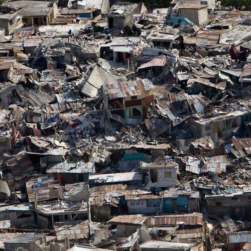
- The Bradley Creek wildfire ignited on Aug 1, burned 2,658 hectares, and destroyed an estimated 230 homes on OKIB land before coming under control.
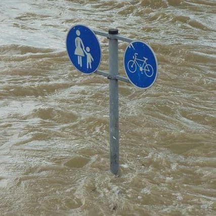
- Assessments identified potential for erosion, debris flows, and rockfall during heavy rainfall, with increased runoff potentially impacting drainage areas and the Westside Road crossing.
- The OKIB advised residents to "watch for unusual water flow, erosion, falling rocks or debris" and to "follow all OKIB access and re-entry directions" while monitoring emergency updates.
- While not all wildfire-affected areas are unsafe, the OKIB will continue working with qualified professionals to identify priority zones requiring mitigation and manage long-term slope stability risks.
Insights by Ground AI
4 Articles
4 Articles


Coverage Details
Total News Sources4
Leaning Left3Leaning Right0Center0Last UpdatedBias Distribution100% Left
Bias Distribution
- 100% of the sources lean Left
100% Left
L 100%


Factuality
To view factuality data please Upgrade to Premium