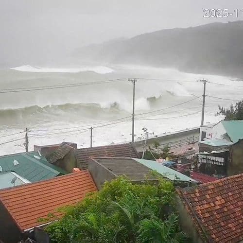
New Typhoon No. 27 Has Formed, Creating a Double Typhoon Situation. Typhoon No. 27 Is Projected to Approach the Ogasawara Islands. Simulations From Various Countries Predict It Will Move East of Honshu. Typhoon No. 26 Is Approaching Hachijojima. Be Aware of Heavy Rain Into the Night.
 This story is only covered by news sources that have yet to be evaluated by the independent media monitoring agencies we use to assess the quality and reliability of news outlets on our platform. Learn more here.
2 Articles
2 Articles

Typhoon Choi-wan (No. 27) formed in the waters off the Mariana Islands at 3:00 AM on the 1st and is currently moving northwest. According to the Japan Meteorological Agency, Choi-wan is expected to develop into a strong storm and move northward near the Sogasawara Sea. At the time of its formation, it was moving northwest with a central pressure of 998 hPa and a maximum wind speed of 19 m/s. According to the agency's forecast, Choi-wan is expe…

According to the Japan Meteorological Agency, a tropical depression in the Mariana Islands intensified into Typhoon No. 27 at 3:00 AM on October 1st. The agency also reported that as of 6:00 AM on October 1st, Typhoon No. 27 (Choi-wan) was located in the Mariana Islands and was moving west at a speed of 20 km/h. It is expected to continue moving westward towards the Mariana Islands for some time. However, its subsequent path is highly uncertain,…
Coverage Details
Bias Distribution
- There is no tracked Bias information for the sources covering this story.


Factuality
To view factuality data please Upgrade to Premium