Major Wildfire Burning in Konitsa for 16th Day
33 Articles
33 Articles

The burned area in the Konitsa region amounts to 1,152 acres, according to yesterday's Copernicus satellite image, as announced by the Ministry of Climate Crisis and Civil Protection. According to the Ministry of Climate Crisis and Civil Protection, the total affected area is approximately 8,000 acres, where, as the ministry points out, the coniferous forest and the understory are burning from a creeping fire, which, as it adds, does not cause …

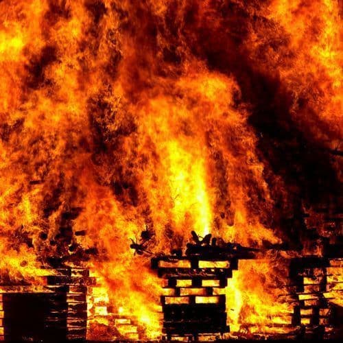
For the 16th consecutive day, the large fire in Trapezitsa, Konitsa, remains active, with firefighting forces continuing the operation to completely extinguish it - According to the latest estimates, more than 8,000 acres have been turned to ash

The resurgences from the fire that broke out in Trapezitsa in Konitsa on August 31st are once again taking on dimensions and are still burning in the area The post The fire in Konitsa has been burning for two weeks – Battle with new resurgences appeared first on in.gr.

The burned area in the Konitsa region amounts to 1,152 acres, according to yesterday's Copernicus satellite image, as announced by the Ministry of Climate Crisis and Civil Protection.

The burned area in the Konitsa region amounts to 1,152 acres, according to yesterday's Copernicus satellite image, while the total affected area is estimated at approximately 8,000 acres.

The burned area in the Konitsa region amounts to 1,152 acres, according to yesterday's (14/9) Copernicus satellite image, as announced by
Coverage Details
Bias Distribution
- 67% of the sources lean Right


Factuality
To view factuality data please Upgrade to Premium